ARTHIST 322 / MENA 390
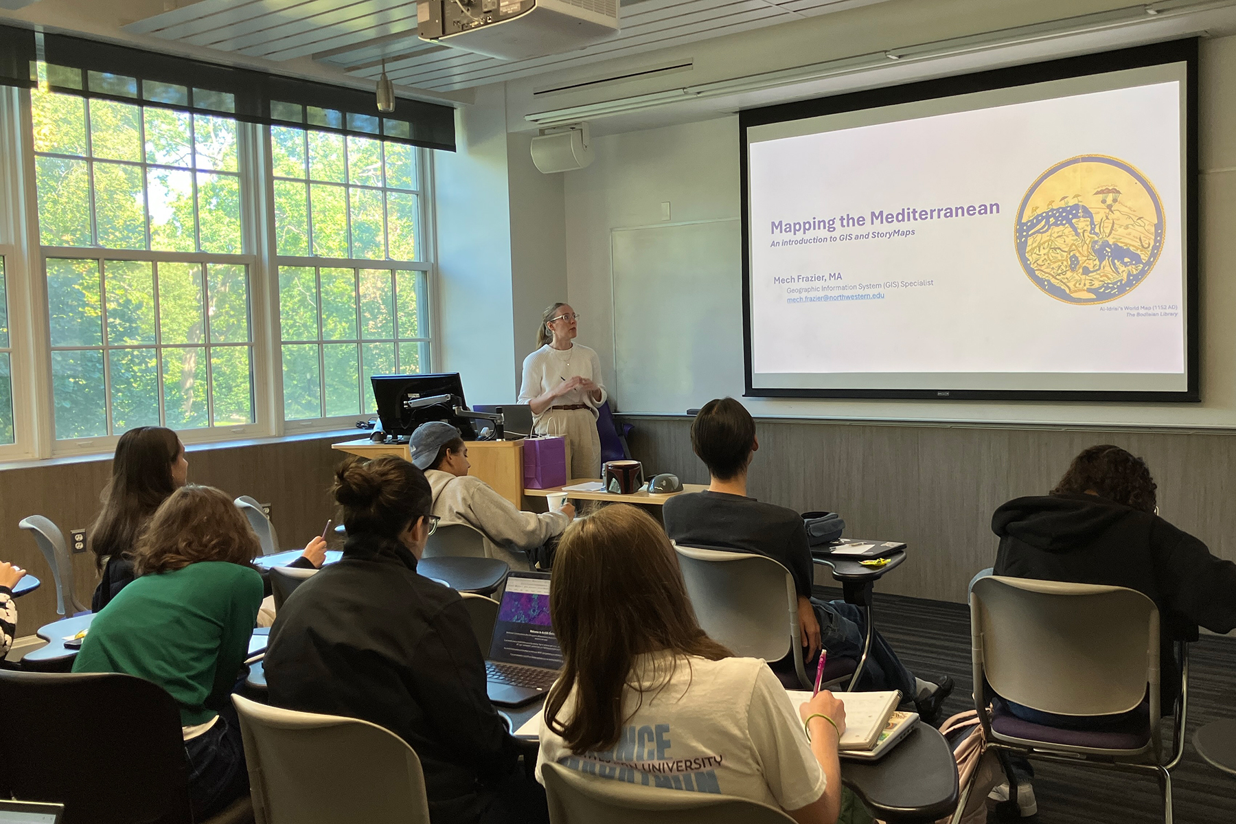
The course integrates class lectures with hands-on sessions and workshops. Students engage with spatial thinking and digital tools through ArcGIS StoryMaps as part of the Digital Mediterranean project, gaining skills in mapping artistic exchange and cultural interactions.
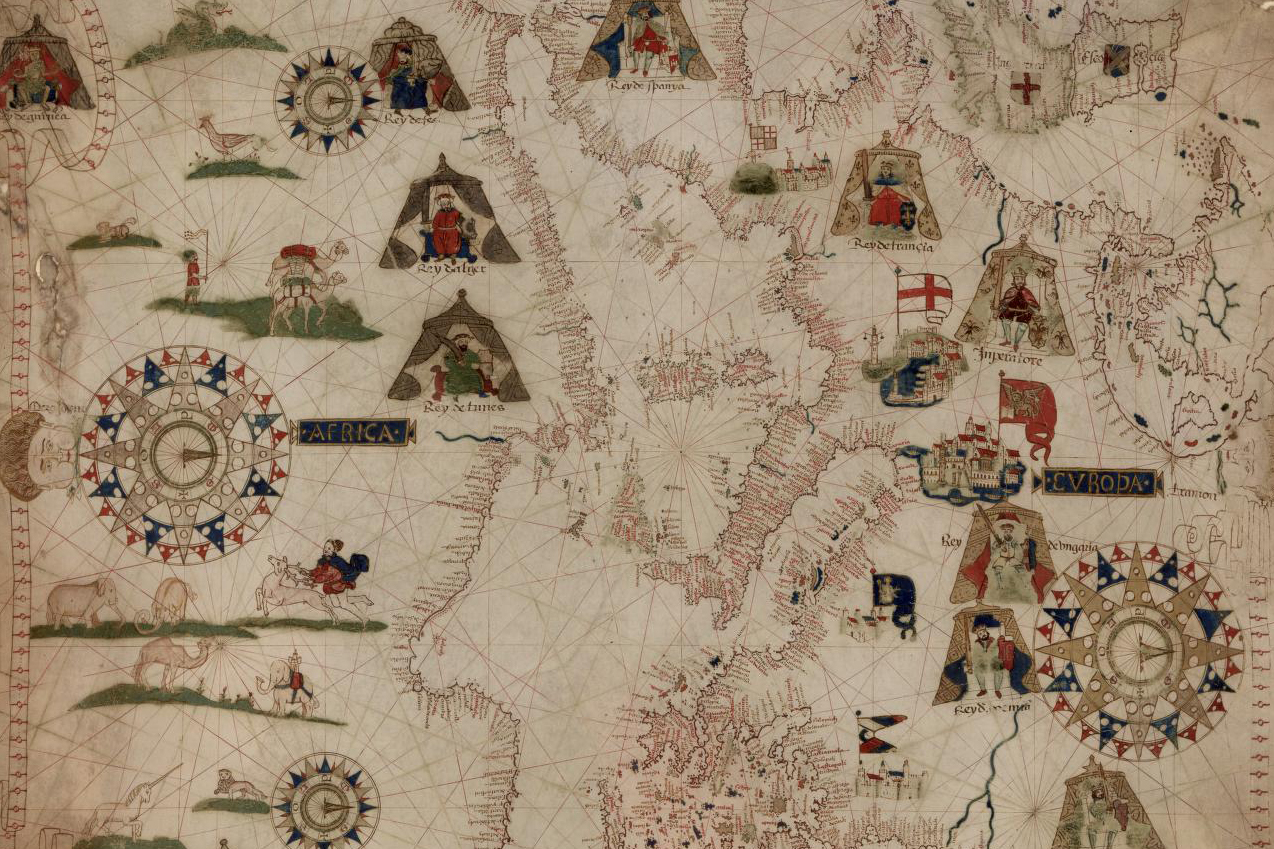
A visit to the Northwestern Library’s Map Room offers a hands-on experience with medieval and early modern maps to explore how the Mediterranean was represented and navigated. Students collaborate to examine medieval and early modern world maps, including the Hereford Mappa Mundi, Catalan Atlas, Tabula Rogeriana, View of Venice, and Book of Curiosities. This hands-on session highlights how these maps, unlike modern navigational tools, functioned as visual encyclopedias of the medieval world.
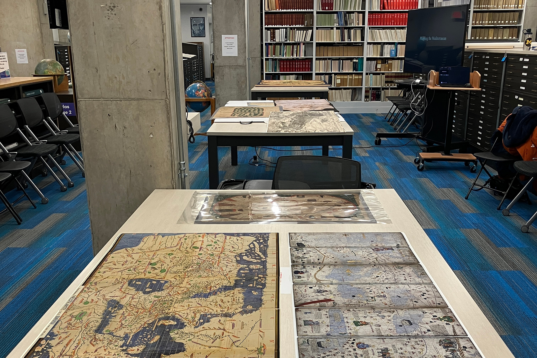
This hands-on session, held in collaboration with Special Collections and the GIS department, introduces students to medieval and early modern maps and spatial analysis methods to support their understanding of the visual representations of the Mediterranean world and help them to start their final assignments for the Digital Mediterranean project.
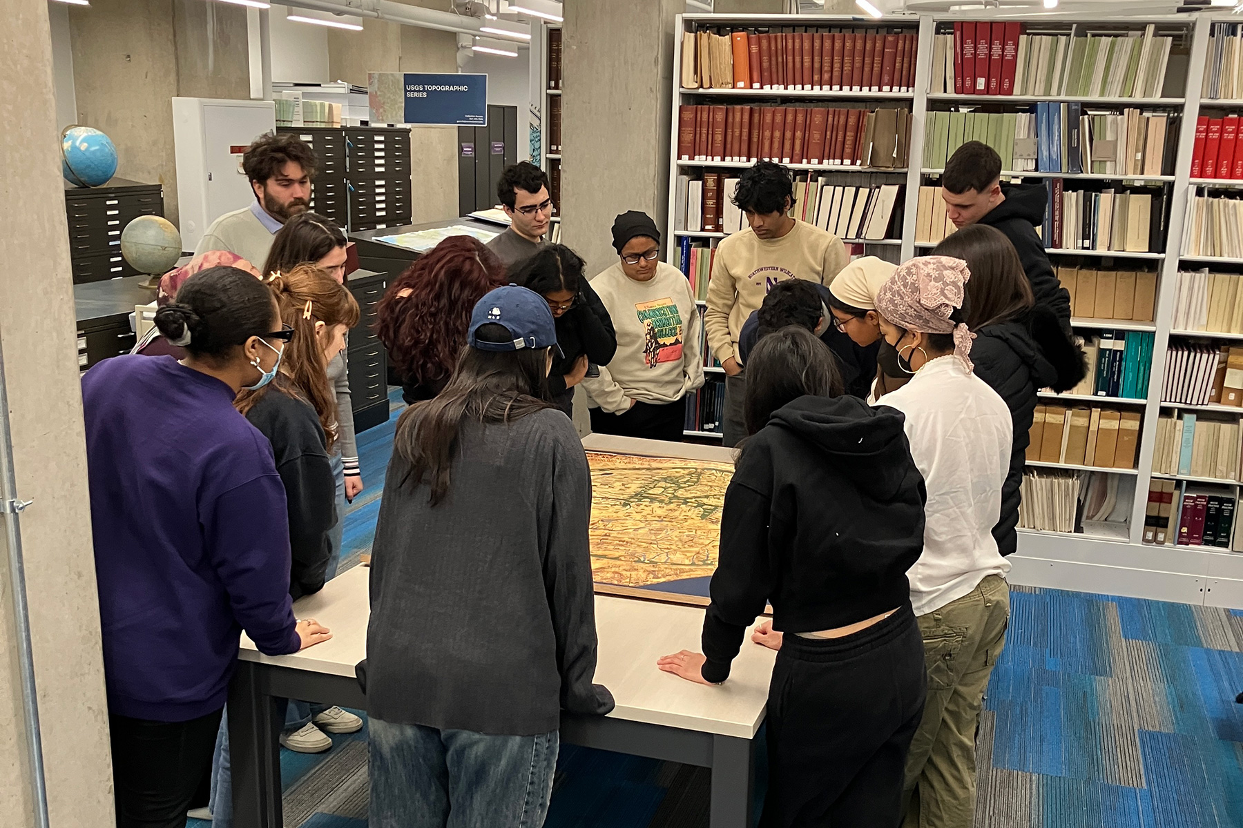
Mech Frazier, M.A., who is the Geographic Information System (GIS) Specialist in the Academic Innovation department at Northwestern University Libraries, teaches students how to combine geographic analysis with data storytelling to explore artistic exchange and cultural interactions across the medieval Mediterranean world. Additionally, she supports undergraduate instruction in the use of ArcGIS StoryMaps for the Digital Mediterranean Project and spatial storytelling for Art and Architecture of the Medieval Mediterranean World (ART HIST 322).