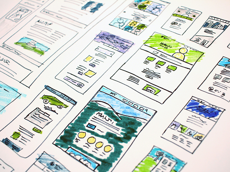
The following are examples of final projects completed by students.
For the Digital Mediterranean Project, students utilize ArcGIS StoryMaps to integrate art historical research with maps, images, visual analysis, and narrative. These projects investigate artistic exchange and cultural interactions throughout the medieval Mediterranean.